ExpeditionClimb
Mont Ventoux · 6 June 2026 · Christophe
The Triple Ascent — Ventoux in a day
Provence · Road · 135 km · 4 800 m · For the slightly unhinged
Read →7 min read

The northern face of Mont Ventoux — 21 kilometres from Malaucène to 1,909 metres. More technical than Bédoin, less crowded, open earlier in spring. The version of Ventoux that most cyclists never ride.
21 km
Distance
2,564 m
Elevation
2h10
Duration
2 ravitos
Ravitos
Malaucène sits at the foot of the northern slope, 330 metres above sea level, a village with a weekly Wednesday market and considerably fewer cyclists than Bédoin. The road leaves through old stone streets before the gradient announces itself at the Source du Groseau — a spring that has been feeding mills and orchards since the 15th century, and which Pope Clement V used as a summer residence when he took the nearby chapel for his own in the early 14th century. The water is cold and reliable. Fill the bottles here: it is 1.7 kilometres from the village centre, and it is the last water until Mont-Serein, roughly halfway up the climb.
The ascent from Malaucène is technically similar to Bédoin in length and elevation gain but different in character — more technical, more varied, with sections of genuine difficulty followed by brief reprieves. This irregularity defines the climb.
The road leaves Malaucène through village streets before immediately entering forest. The gradient is irregular — something that Bédoin is not — alternating between 10%+ ramps and short sections of 4–5% where recovery is possible. This irregularity is either more manageable or more difficult than Bédoin depending on your physiology. Riders who climb well at steady pace prefer Bédoin. Riders who climb better with rhythm variation often prefer Malaucène.
After the Groseau, the road steepens abruptly to 9% for two kilometres, then settles into a middle section of variable gradient up to kilometre ten. Here the climb reveals its character: kilometres nine to eleven are straight, mostly above 10% average, a sustained section that earns its reputation. A sharp turn leads to a brief almost-flat kilometre at the Chalet Liotard — rustic, well-placed, with views down into the valley and food when it's open. Use it.
Beyond Liotard, the gradient resumes: 10% for nearly a full kilometre after the chalet, then variable but consistently steep to the summit. The forest — which has sheltered the climb for the previous fifteen kilometres — begins to thin. The Provençale Baronnies and the Alps appear to the north. Then the tree line ends, and the lunar landscape of the summit plateau takes over.
The key distinction from Bédoin: the Malaucène road meets the summit road at the Col des Tempêtes, 1.5 kilometres below the summit, rather than at Chalet Reynard. The final exposed section is shared with the Bédoin descent, but approached from the opposite direction. You see the summit earlier, which is either motivating or demoralising depending on the state of your legs.
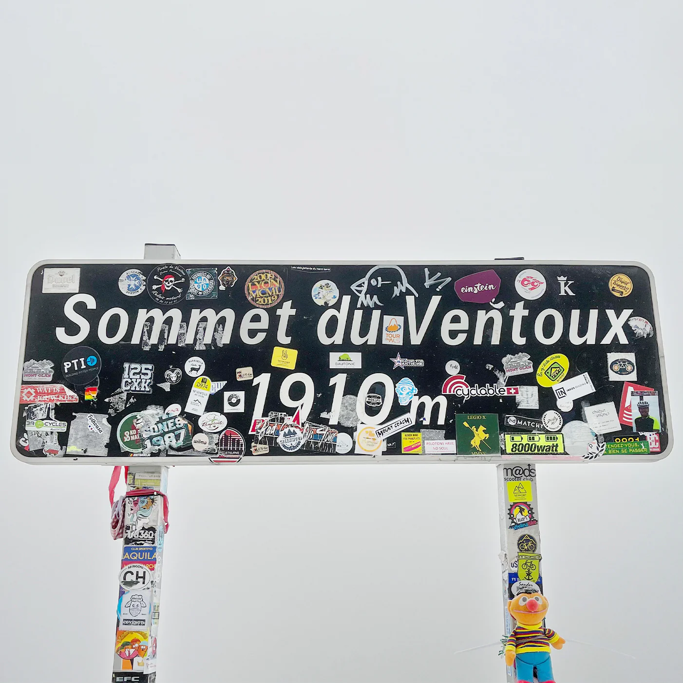
The summit itself, at 1,909 metres, is the summit of all three routes. The same observatory. The same wind. The same view in every direction — the Luberon to the south, the Alps to the northeast, the Rhône valley to the west on a clear day. What changes is where you came from.
The northern slope holds snow longer than Bédoin but opens earlier to cycling because it is north-facing and shaded through the morning. In April and early May, when Bédoin is sometimes still closed by late snow, Malaucène is often open. The forest is darker, cooler, and in spring dramatically carpeted with wildflowers on the lower slopes.
Bédoin has a cycling culture of its own — cafés adapted to the jersey-and-bidon crowd, a peloton leaving every morning in season, a particular social grammar of the climb. Malaucène is quieter in a different way: not deserted, but without the performance pressure that Bédoin carries. The riders here tend to be locals and those who have already done Bédoin and want to understand the mountain from a different angle. Both things are worth knowing before you choose.
The only time the Tour de France didn't ascend from Bédoin, it came this way — in 1951, the northern face was the route. It has been the quieter option ever since, which is not the same thing as the lesser one.
21 km · +1,532 m · Hors catégorie · Road
| Segment | Notes |
|---|---|
| Malaucène village → Source du Groseau (km 1.7) | Flat warm-up, last water point before Mont-Serein |
| Groseau → km 10 | Abrupt steepening to 9%, then variable 4–10% through forest |
| Hard section: km 9–11 | Straight road, sustained 10%+ average, the climb's defining test |
| Chalet Liotard (km ~14–15) | Brief respite, food when open, views north over the Baronnies |
| Liotard → Mont-Serein (km ~16) | 10% ramp resumes, forest thinning |
| Mont-Serein station (km ~15) | Second water point, ski station in winter |
| Mont-Serein → Col des Tempêtes | Tree line ends, lunar landscape begins, Alps visible |
| Col des Tempêtes → summit | Final 1.5 km shared with Bédoin route |
| Summit: 1,909 m | Observatory, 360° view, café/shop (check seasonal hours) |
21 km
Distance
2,564 m
Elevation
—
Average gradient
—
Summit altitude
From Bédouin
21 km · 1579 m
From Sault
26 km · 1211 m
Before you go
From the journal
Mont Ventoux · 6 June 2026 · Christophe
Provence · Road · 135 km · 4 800 m · For the slightly unhinged
Get the Ravito guide in your inbox.
No noise. Unsubscribe anytime.