RAVITO.
14 saved
RoadLoopGermany

Trier — West Loop via Welschbillig, Echternach & Mertert

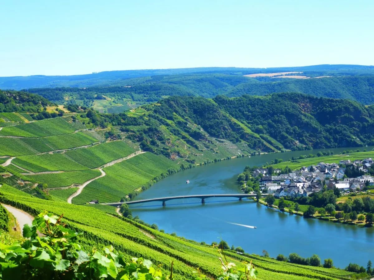
West of Trier the border softens: German vineyard roads give way to Luxembourg’s Sauer valley at Echternach, then the Mosel again at Mertert — a cross-border loop measured in quiet climbs rather than famous cols.

93.8 km

Distance

1,081 m

Elevation

5h29

Duration

3 ravitos

Ravitos

West from the Roman bridge

This loop leaves Trier westward rather than downriver — toward Welschbillig, the Irrel waterfalls, and the quieter hills between Germany and Luxembourg. Nearly ninety-four kilometres and about seven hundred seventy-five metres of climbing make a medium day on paper; the interest is the border geography and the way the Mosel only reappears once you have earned the detour.

Welschbillig marks the turn into rolling farmland. The road stays mostly asphalt and lane — road-bike country — with little need for gravel clearance if you stay on the main line. Views open without drama; the climbs are short enough to stay conversational until the Luxembourg side asks for more attention.

Echternach is not a café detour pasted onto a German loop. It is the reason the route crosses the border at all — abbey town, Sauer valley light, and a different rhythm before the Mosel return.

Echternach, Mertert, and the Mosel again

Echternach sits as the natural midpoint: abbey stone, a proper town square, and a pause before swinging back toward the Mosel at Mertert. From there the river corridor resumes — Wasserliesch, Konz, the Saar confluence — and the Roman landmarks reappear (Igeler Säule) as the loop closes toward Trier’s western approaches.

SegmentNotes
Trier → WelschbilligWest departure; rolling German lanes
Toward Irrel / EchternachSauer approaches; waterfall viewpoints
EchternachAbbey town; natural coffee stop
Mertert → Konz → TrierMosel return; Saar confluence; Igeler Säule

A border day without theatrics

Nothing here pretends to be an Alpine stage. The payoff is quieter: three countries’ worth of river geography in a single afternoon if you count Luxembourg properly, vineyards on the German side, and a finish that still smells like Trier’s old town. Carry ID for the border crossings in spirit if not always at a checkpoint, and pack a layer — the Mosel wind at Konz can feel colder than the summit numbers suggest.

93.8 km

Distance

1,081 m

Elevation

Average gradient

405 m

Summit altitude

Before you go

  • BorderLoop enters Luxembourg at Echternach / Mertert. Roads are open; carry ID as usual in the Schengen area.
  • SurfacePredominantly asphalt and road. Standard road bike is correct.
  • EffortModerate — ~94 km / 775 m. Shorter than the Schweich–Fell Mosel loop, similar climbing density.
  • StartTrier Westbahnhof / Römerbrücke area. Easy rail access.

This is the kind of place we write about every week.

Get the Ravito guide in your inbox.

No noise. Unsubscribe anytime.

Newsletter details