RAVITO.
7 saved
RoadClimbLoopFrance

Côte d'Héry-sur-Ugine & Col des Saisies

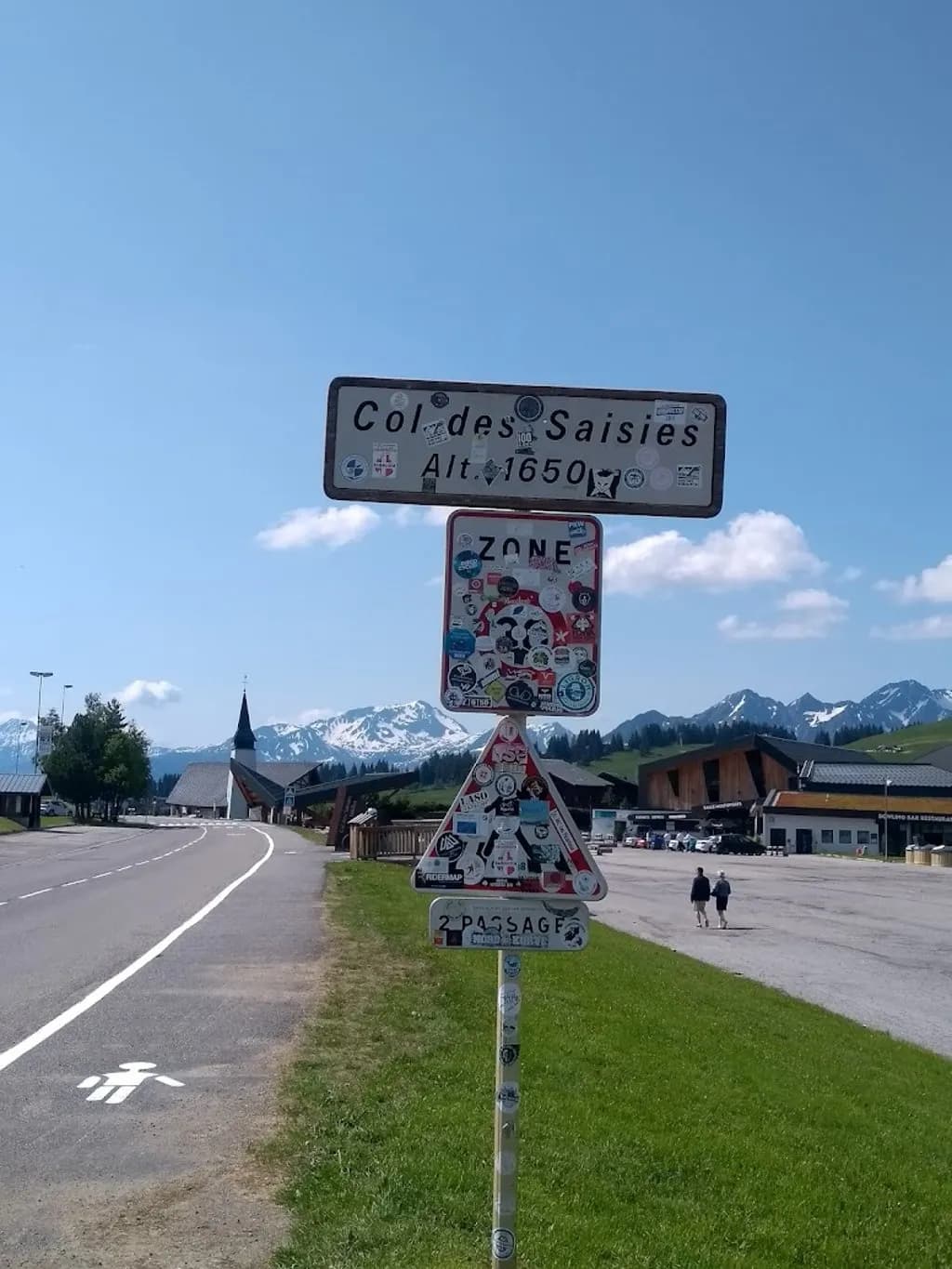
From Ugine a Savoie loop pairs two very different climbs: the narrow, irregular Côte d'Héry-sur-Ugine and the steady Col des Saisies at 1,662 m — 70.2 km, 1,705 m, Mont Blanc on the horizon, and a long Beaufortain descent home.

70.2 km

Distance

1,705 m

Elevation

Duration

1 ravito

Ravitos

Arly valley into Héry

Ugine opens with nine near-flat kilometres beside the Arly, limestone walls closing the Val d'Arly and Savoyard villages flicking past. Then Côte d'Héry-sur-Ugine refuses to ease anyone in: narrow departmental road, hardwood canopy, irregular ramps through hamlets above Héry. Every so often the forest opens onto the Combe de Savoie dropping away behind. Eleven kilometres at roughly 5.2% to 1,004 m — shaded, quiet, technical in character if not always in percentage. The forest keeps the noise out; the only rhythm is the one on the bike.

A short drop to the valley floor below Crest-Voland resets the legs before the second climb begins through pasture and wooden chalets with views across to the Aravis. In Crest-Voland a mural for Gino Mäder waits in a village that prepared for a Tour passage Stage 19 of 2025 never completed — the race was cut short the night before after livestock disease closed the intended route. The mural was unveiled anyway.

Héry is narrow, shaded and irregular; the Saisies is long, open and steady. Same loop, two languages of climbing.

Col des Saisies and the Beaufortain

From Crest-Voland the D218B climbs eight more kilometres through spruce that opens into alpine meadow. Ski-lift cables appear overhead; eastward Mont Blanc shows itself, which is always a moment. The col at 1,662 m is the high point; Les Saisies sits just below in summer Tour theatre — yellow, polka-dot and green jersey cutouts in flowerbeds, plaza cafés, tarte aux myrtilles or a Beaufort sandwich in Beaufortain country.

The descent through Hauteluce and Villard-sur-Doron is fast and flowing, stone-and-timber farmhouses flashing past, good sightlines through the sweepers. A short ramp near km 45 at nearly 7% interrupts the drop; another kick around km 65 keeps attention honest until the last four kilometres fall nearly two hundred metres back into Ugine.

SegmentNotes
Ugine → HéryArly warm-up; then irregular forest climb
Crest-Voland approachBalcony views to the Aravis
Col des SaisiesSteady D218B; Mont Blanc east; 1,662 m
Les SaisiesResort stop; summer holiday traffic
Beaufortain descentLong, flowing; watch mid-descent ramps

A Tour stage that still rides

The peloton skipped these climbs in 2025. The roads did not. For riders chasing Savoie theatre without the Oisans crowds, Héry and the Saisies remain a complete day — two characters, one valley return, and Mont Blanc as punctuation on the upper kilometres.

70.2 km

Distance

1,705 m

Elevation

Average gradient

1,659 m

Summit altitude

Before you go

  • WaterFill bottles in Ugine. Next reliable stop is Crest-Voland (~km 30); nothing between Héry’s summit and there.
  • LayersWindproof for the descent from 1,662 m — it cools fast even on warm days.
  • RoadHéry is narrow with no shoulder and blind corners. Moderate traffic, little room.
  • WeatherAfternoon storms build quickly over the Beaufortain in July–August. Start early.

This is the kind of place we write about every week.

Get the Ravito guide in your inbox.

No noise. Unsubscribe anytime.

Newsletter details