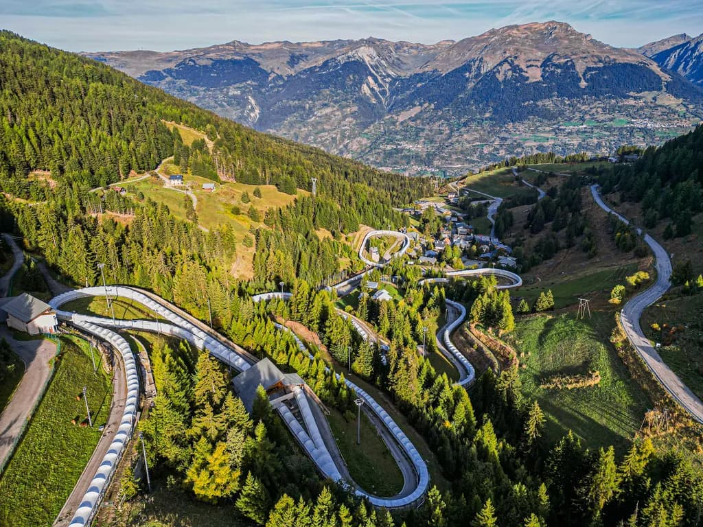
Aime to La Plagne
From the Isère valley floor at Aime the D221 climbs hairpin after hairpin through Savoyard forest to La Plagne — 41.8 km out-and-back, 1,472 m of ascent, the same road the Tour used in 2025, then a fast flowing descent home.
41.8 km
Distance
1,472 m
Elevation
—
Duration
1 ravito
Ravitos
Valley floor to forest rhythm
Aime offers a few hundred metres past the old stone houses and the Basilique Saint-Martin, the Isère rushing below and the N90 still thick in the morning air, before the D221 stops being polite. Through Mâcot a roadside fountain by the church is the last easy water — sandwich bar beside it if breakfast was thin. Then spruce and beech close over the road: five kilometres of stacked hairpins holding 7–8.5%, the hardest kilometre early, the Tarentaise dropping away through gaps in the trees as Aime shrinks to a grey smudge along the river.
The tarmac is immaculate and grippy — Tour-ready asphalt that rewards a steady seated gear. Hamlets arrive as the forest thins: Les Villards, then scattered chalets at Plagne la Roche, wood and stone, cowbells off the road, flower boxes at the windows. The grade never really lets up, but the surroundings keep giving reasons to look up from the stem. On 25 July 2025 the race took this exact road as far as Plagne Centre before turning toward Plagne Villages.
Nineteen kilometres steady above 7% with thirteen of them empty of shops. Rhythm is the only strategy.
Resort tiers and the drop home
Plagne 1800 is the first resort level with services after the long forest. On to Plagne Centre at 1,970 m, then two final kilometres to Aime 2000 at 2,093 m — high point of the route, views opening toward Mont Pourri, the Beaufortain, and the edge of the Vanoise. The Salle Omnisports Pierre Leroux wears yellow and polka-dot façades; the yellow I ❤ LA PLAGNE sculpture collects the obligatory photograph. Brasserie Coke and tarte aux myrtilles while the legs stop shaking are part of the ritual.
| Segment | Notes |
|---|---|
| Aime → Mâcot | Short warm-up; fountain by the church |
| Forest hairpins | Hardest km early; 7–8.5% for kilometres |
| Les Villards / Plagne la Roche | Hamlets; still climbing |
| Plagne 1800 → Centre → Aime 2000 | Resort tiers; summit 2,093 m |
| Descent | Same 21 km down; long sightlines |
The descent is the same road read differently — long forest sightlines, grippy asphalt, flowing hairpins if traffic allows. Twenty-one kilometres and 1,400 metres down to the valley. Carry a windproof; afternoon thunderstorms are normal in the Tarentaise, and the upper slopes are exposed. Forty-two kilometres out and back; a proper Tour climb without needing a stage finish banner to justify it.
41.8 km
Distance
1,472 m
Elevation
—
Average gradient
2,093 m
Summit altitude
Before you go
- ResupplyFill bottles in Aime; last water at Mâcot (~km 3). Nothing until Plagne 1800 (~km 16).
- GearingLong steady climb above 7%. 34/32 for most; 34/34 for comfort.
- WeatherStart early — Tarentaise thunderstorms and exposed upper kilometres in summer.
- TrafficExpect resort traffic in July–August on the final hairpins into Plagne Centre.